National Park Service Visitor Experience Interpretive Maps
CREATIVE DEVELOPMENT, DESIGN + ICON ILLUSTRATION
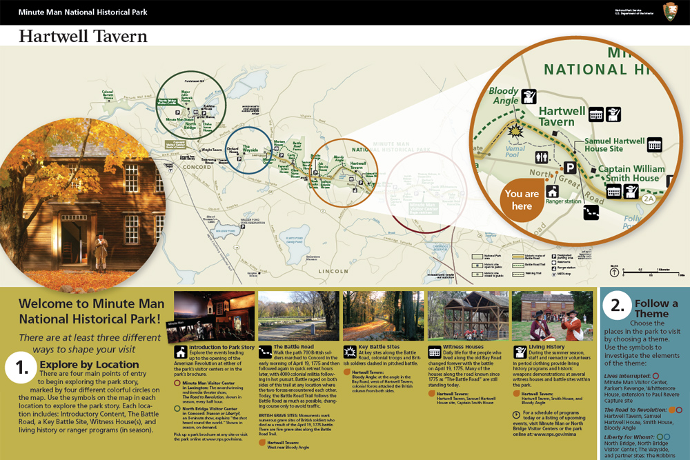
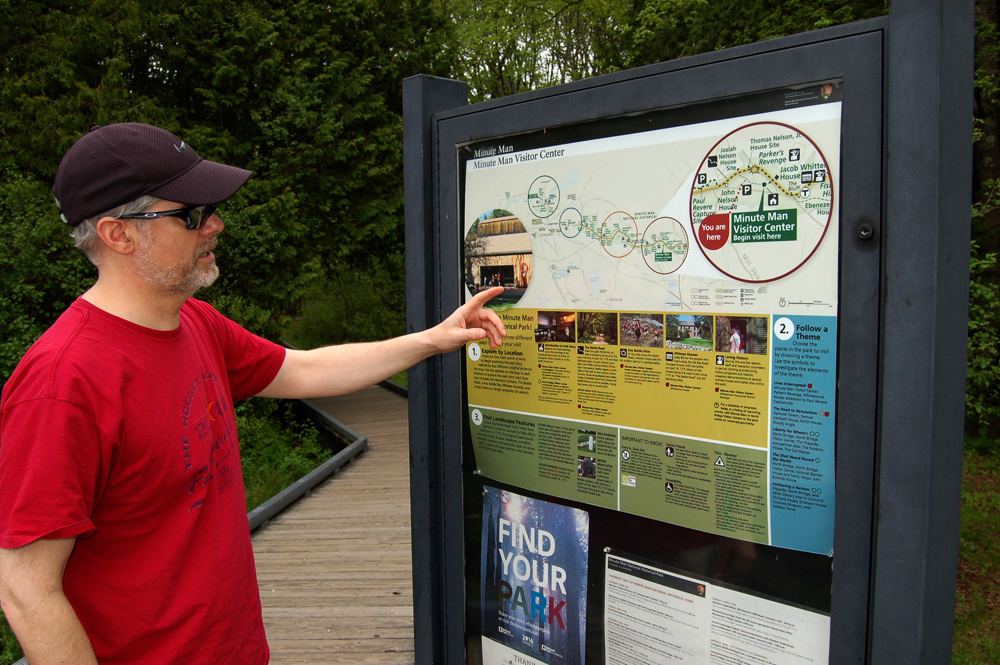
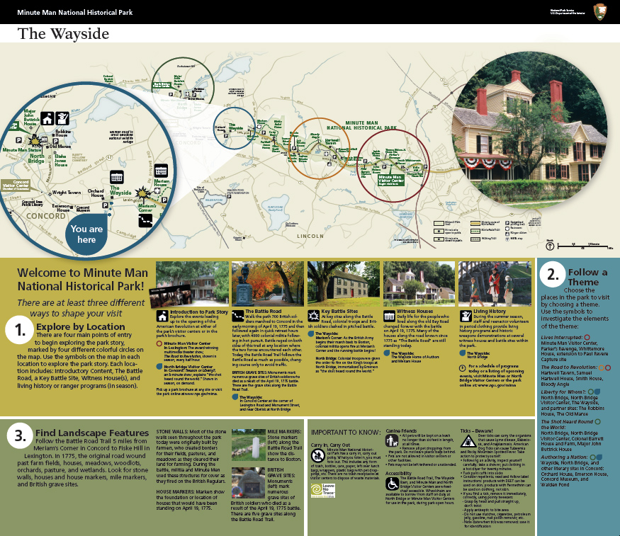
As the site of the opening battle of the Revolution, Minute Man National Historical Park spans the towns of Lexington and Concord. It contains two visitor centers about five miles apart, numerous historical sites and structures, and the Battle Road Trail – a popular multi-use trail which follows the original path of the battle. Given the park’s multiple entry points and uses, Interpretation and Education leaders wanted to improve orientation information for visitors while streamlining messaging and presenting a unified view of the entire park.
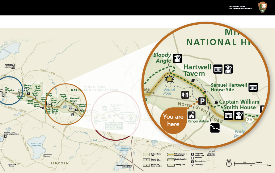
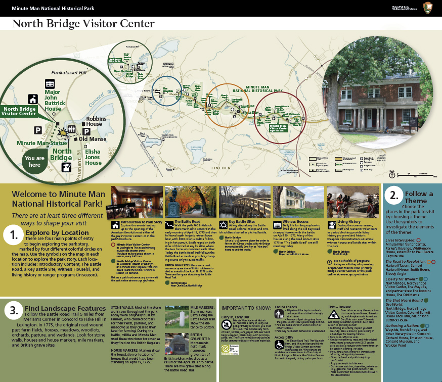
In collaboration with the park, Merry Perry Design created a series of large interpretive maps that suggest three different ways for visitors to shape their visits – by experience, theme, or landscape features – in each of four major areas of the park. Building on existing park cartography, the experience map design incorporates intuitive color-coded inset maps and markers for each area of the park. Iconography created or adapted by Merry Perry Design represents each of the major experience options, making it easier for visitors to connect descriptive content with locations on the map.
- Client Minute Man National Historical Park
- Date May 16, 2016
- Tags >Print, Education, Environment, Featured, Illustration